News
NASA is crashing a satellite into an asteroid to gather data about asteroid deflection
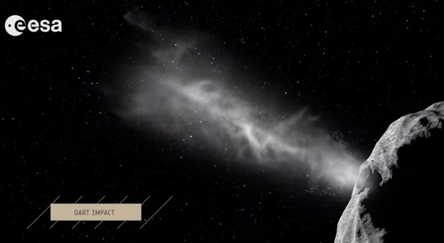
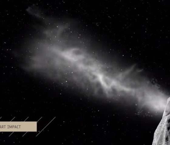
The threat of asteroids crashing into Earth isn’t a new concern. We’ve been warned about it by science fiction authors and Hollywood alike, and any kid that’s ever paid attention to dinosaurs in school knows there are bad outcomes when life and chunks of space rock meet up. The space agencies of Europe and the United States are not blind to the threat, thankfully, and they have a multi-part satellite mission in the works directed to gathering real data on how to redirect an asteroid with bad intentions for our planet, i.e., is on a collision course. Specifically, they’re planning on crashing one satellite into an asteroid and studying the effect with another satellite run by the European Space Agency (ESA).
NASA’s part of the mission is called the Double Asteroid Redirection Test (DART), and it will serve as the first demonstration of changing asteroid motion in space. The launch window begins in late December 2020, most likely on track for June 2021, for arrival at its targeted asteroid, Didymos, in early October 2022. Didymos is Greek for “twin”, the name being chosen because it’s a binary system with two bodies: Didymos the asteroid, about a half mile across, and Didymoon the moonlet, about 530 feet across, acting as a moonlet. The two currently have a Sun-centric orbit and will have a distant approach to Earth around the same time as DART’s launch window and then again in 2024.
After reaching the asteroid, DART will enter orbit around Didymoon, and crash into it at a speed of about 4 mi/s (nine times faster than a bullet) to change its speed by a fraction of one percent, an amount measurable by Earth-based telescopes for easy study. Unsurprisingly, the preferred description is “kinetic impact technique” rather than “crash” – maybe even “impact” or “strike”, if we’re avoiding terms that sound random or accidental. The mission is being led by the Johns Hopkins Applied Physics Laboratory (JHU/APL) and managed by the Planetary Missions Program Office at Marshall Space Flight Center in Alabama for NASA’s Planetary Defense Coordination Office.

NASA’s DART mission is one of two parts of an overall mission dubbed AIDA (Asteroid Impact & Deflection Assessment). Joining the agency’s Earth-protection venture is the ESA with its Hera spacecraft, named after the Greek goddess of marriage, a probe that will follow up DART’s mission with a detailed survey of the asteroid’s response to the impact. Collected data will help formulate planetary defense plans by providing detailed analysis from DART’s real-time asteroid deflection experiment. Its launch is scheduled for 2023.
Just this month, another part was added to Hera’s mission: CubeSats. This class of tiny satellites is about the size of a briefcase, and they recently made their deep space debut during NASA’s Mars InSight landing. During that mission, twin CubeSats collectively named MarCO followed along on the journey to Mars behind InSight, eventually relaying data during the landing event back to NASA’s Mission Control along with a photo of the red planet. ESA’s CubeSats, named APEX (Asteroid Prospection Explorer) and Juventas, will travel inside Hera, gather data on Didymos and its moonlet, and then both will land on their respective rocks and provide imaging from the surface.

Just to recap: Tiny satellites in a class that students and startups can and have developed and launched will travel into deep space and land on asteroids. This is big news for the democratization of space travel. As emphasized by Paolo Martino, Hera’s lead engineer in ESA’s article announcing the CubeSat mission, “The idea of building CubeSats for deep space is relatively new, but was recently validated by NASA’s InSight landing on Mars last November.”
Using kinetic energy – pure ram/crash force – isn’t the only option NASA is looking at for defending Earth from incoming asteroids. A “gravity tractor” concept would orbit a craft in a way that would change the trajectory due to gravitational tugging. Similar to how our moon has an impact on our tides or the Earth makes the Sun wobble ever so slightly, a satellite orbiting an asteroid would give pushes and pulls to set its course elsewhere.
Unfortunately, a gravity tractor likely wouldn’t be very effective for asteroids large enough to seriously threaten our planet. Also, the techniques for achieving it would require decades to develop and test in space. Laser ablation, or using spacecraft lasers to vaporize asteroid rock to change an asteroid’s course, is another technique NASA has considered, but it might be just as feasible or cost-effective to simply launch projectiles to achieve the same purpose.
Watch the below video for a visual overview of the DART and HERA missions:
Elon Musk
SpaceX’s newest Starmind will make earth data centers obsolete
Elon Musk confirmed Starmind as SpaceX’s AI satellite constellation name, targeting one million orbital compute nodes.
Elon Musk confirmed that Starmind will be the official name of SpaceX’s planned AI satellite constellation, following a trademark filing by xAI that surfaced earlier this week. Starmind is what’s being described to the FCC as a constellation of up to one million AI satellites
It’s worth noting that SpaceX’s Starlink communication satellite and Starmind are built on the same orbital infrastructure concept but serve entirely different purposes. Starlink is a connectivity network, with satellites receiving and relaying data between points on Earth, and functioning as a high-speed internet backbone in space. The satellites themselves do not process or think, and move information from one place to another, the same function a fiber cable performs underground.
SpaceX just forced Verizon, AT&T and T-Mobile to team up for the first time in history
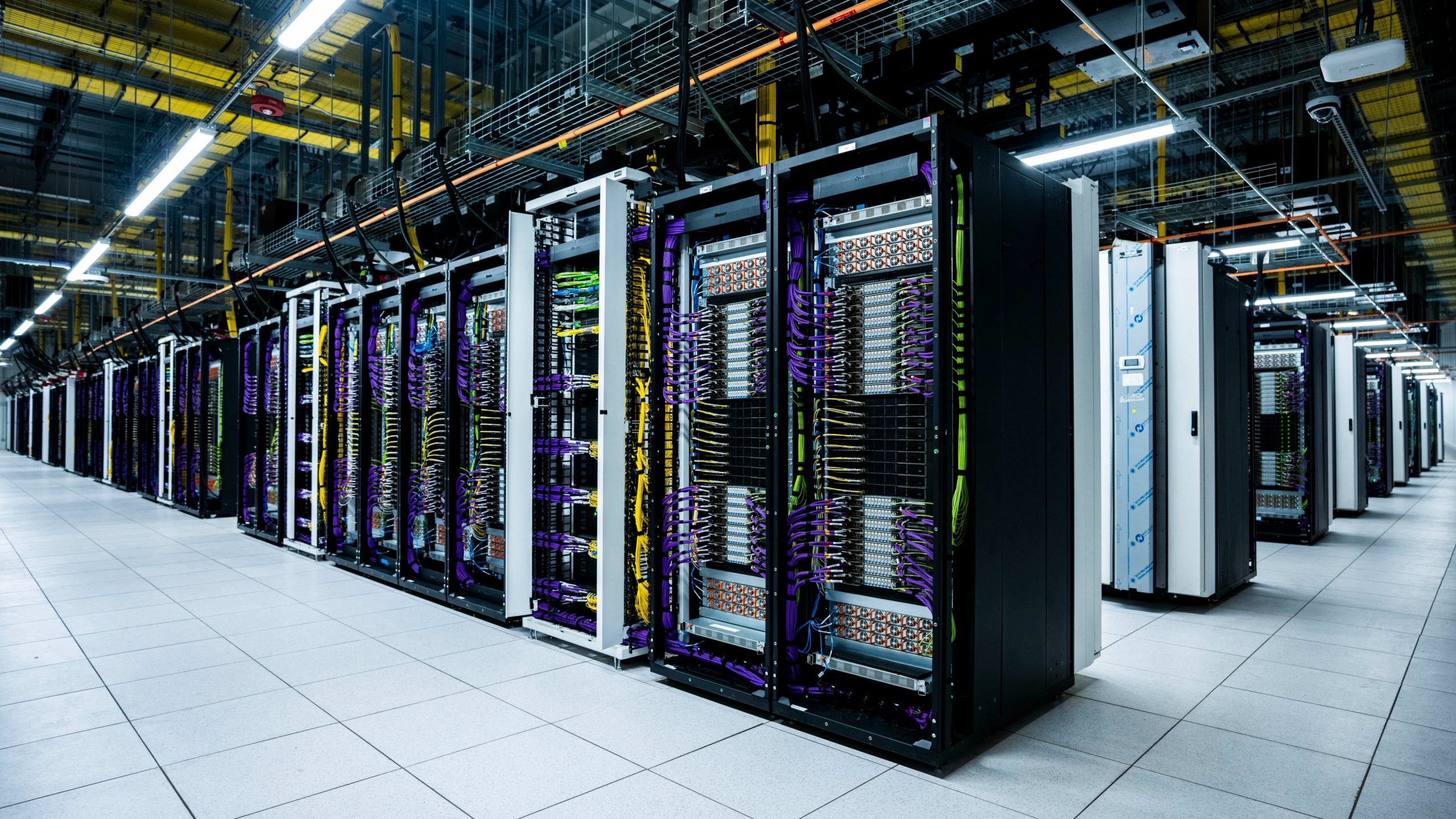
Starmind, on the other hand, is something completely different, and tather than moving data, its satellites would compute data through artificial intelligence and directly in orbit using onboard processors powered by large solar arrays. Where a Starlink satellite is essentially a very fast pipe, a Starmind satellite is a server. The practical implication is that Starmind would allow AI models to run inference, process queries, and generate outputs from space, then beam results down to users anywhere on Earth within milliseconds, and without the data ever needing to travel to a terrestrial data center.
Starship will be able to carry 30 to 50 AI1 satellites per launch, delivering the equivalent of dozens of server racks per flight, with no land acquisition, no power grid approval, and no cooling infrastructure required on the ground.
SpaceX is pursuing this new technology as terrestrial data centers are running into hard limits such as lack of physical space, community opposition, and power and water consumption at a scale that is increasingly difficult to permit. Space has unlimited solar power, natural vacuum cooling, and no zoning boards. Musk said in a June 8 video presentation that he expects space to become the lowest-cost location to deploy AI compute within two to three years. Two AI1 prototypes are scheduled to launch in early 2027, with volume production targeted for the end of that year at a new facility called Gigasat.
The real world applications Starmind enables extend well beyond powering Grok. A constellation of orbiting AI processors could run inference workloads for any paying customer, anywhere on Earth, with latency measured in milliseconds rather than the seconds associated with ground-based cloud routing across continents. Starmind, if it scales as described, would make SpaceX the landlord of AI compute the same way Starlink made it the landlord of satellite internet.
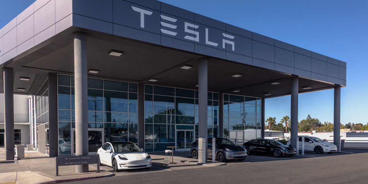
Tesla is pushing back against the unfair reporting of accidents involving its vehicles. Many media outlets were quick to jump to conclusions about a fatal accident involving a Tesla in Katy, Texas, that happened recently.
The driver of the vehicle, which slammed into a brick house and killed a woman inside, stated the car was operating on Autopilot. Tesla CEO Elon Musk and Head of AI Ashok Elluswamy both challenged that claim, with Elluswamy revealing last night that the system was overridden by the driver, who pressed the accelerator pedal “all the way to 100%.”
Tesla finally clarifies fatal Texas crash, confirms driver manually overrode acceleration
The car reached a speed of 73 MPH during the crash, Elluswamy detailed, and stated that the accelerator pedal was even pressed after the crash.
The story has been spread throughout the media with either incomplete or incorrect reporting, with some stories still not updated nearly 24 hours after Musk and Elluswamy posted answers about the crash on X.
The reporting has been a thorn in the side of Tesla for several years. Vehicle accidents involving Teslas are usually reported with the manufacturer’s name in the headline, while other companies are free of criticism when their cars are involved in accidents.
Here’s an example of that:
So you don’t report the vehicle’s make when it isn’t a Tesla, but you do report it when it is a Tesla?
The vehicle in your post above is a Hyundai Ioniq 5 EV. pic.twitter.com/4WT3sZ2DHm
— Sawyer Merritt (@SawyerMerritt) February 17, 2026
Many media outlets stated the car was in “self-driving mode” or “Autopilot mode” when the car crashed. The truth is, now that Tesla has chimed in, that the driver had manually overriden the system by pressing the accelerator. Elluswamy commented on the unfair reporting:
“This blatantly irresponsible reporting does more harm to people than they realize.
Using Tesla self-driving is far safer than manual driving, and this was measured over 10B miles.
Planting such FUD in the minds of general public, who might not know the all the facts, might prevent them from using this technology that makes them safer.”
This blatantly irresponsible reporting does more harm to people than they realize.
Using Tesla self-driving is far safer than manual driving, and this was measured over 10B miles.
Planting such FUD in the minds of general public, who might not know the all the facts, might…
— Ashok Elluswamy (@aelluswamy) June 22, 2026
The damage these headlines do to Tesla and the self-driving car movement is unexplainable. Most people do not realize the safeguards that are in place with Tesla’s self-driving functions; many people who have used it know the car would never travel at that speed in a residential area, not even on the most aggressive “Mad Max” setting.
It is important to remember that Tesla Full Self-Driving is not autonomous, and the company never claimed it was. Drivers are still responsible for paying attention and remaining vigilant. They must be able to take over at all times.
Tesla Supercharging is getting yet another layer of gamification, as the company is rolling out a new competition that could win Free Supercharging miles.
Tesla is ramping up its efforts to make vehicle ownership more engaging through gamification. In June 2026, the company announced the 2026 Free Supercharging Competition, building on the Charging Passport feature introduced the previous year. This initiative turns Supercharging into a competitive, collectible adventure while offering substantial real-world incentives.
🚨 Tesla is taking its gamification of Supercharging a step further with the launch of the 2026 Free Supercharging Contest:
“In January 2027, Tesla will celebrate nine outstanding Supercharger users from 2026 by awarding them free Supercharging for their Tesla vehicle for as… pic.twitter.com/CPPYJLJwFD
— TESLARATI (@Teslarati) June 23, 2026
The Charging Passport, rolled out late last year, functions like a digital travel log or a year-in-review for Tesla owners. These types of things are used by many platforms, including Spotify and Apple Music, which show listeners what type of taste they had for the year.
Accessed in the Tesla App under the ‘Charging’ section, it displays a map of visited Superchargers, key stats, such as total energy charged (kWh), number of unique sites, total charging sessions, top charging day, and miles added. Owners earn collectible Charging Badges in categories, which include:
- Charging Milestones – for total energy, consecutive weeks of Supercharging, or unique sites visited
- Iconic Chargers – for Flagship Locations or stations near famous landmarks
- Special Events – limited-time badges for specific experiences. These badges appear within 24 hours of qualifying activity and provide a fun, shareable recap of an owner’s Supercharging journeys. Milestone progress resets annually, allowing fresh challenges each year
The 2026 contest elevates this gamification by rewarding top performers with lifetime free Supercharging. All Supercharging sessions from January 1 to December 31, 2026, count toward the competition. To participate, owners must enable “Share Charging Data with Tesla App” in vehicle settings and open the 2026 Charging Passport in the app at least once before January 1, 2027.
Nine winners will be selected — three per region (Americas, Asia-Pacific, and EMEA, with some countries excluded for regulatory reasons) — one in each of three categories:
- Longest Trip: Longest continuous streak of unique Supercharger locations where each new site is visited within 24 hours of the previous session’s start time
- Most Unique Supercharger Sites Visited: Highest number of distinct locations
- Most Energy Supercharged: Highest total in kWh charged at Superchargers
A unique site is defined as shown in the Tesla app or vehicle navigation. Repeat visits during a streak are allowed but do not extend the count. Ties are broken by total energy charged. Ineligible participants include vehicles already receiving free Supercharging, commercial-use vehicles (taxi, rideshare, delivery), Tesla employees and their immediate families, and residents of certain excluded countries.
Winners receive free Supercharging on the winning vehicle for as long as they own or lease it.
This contest is part of Tesla’s broader gamification strategy. The Safety Score has long rewarded safe driving habits with a numerical rating that can influence insurance rates or feature access. The referral program incentivizes owners with credits or free Supercharging months for successful referrals.
In-app statistics, streaks, and community features further encourage engagement. Older third-party apps even awarded “mayor” titles for frequenting specific Superchargers.
By combining digital badges, competitive leaderboards, and high-value rewards, Tesla boosts network utilization, gathers usage data, and fosters deeper owner loyalty. The 2026 Free Supercharging Competition invites enthusiasts to plan epic road trips while turning everyday charging into a rewarding pursuit. With the Passport already proving popular, expect heightened activity across the Supercharger network throughout the year.

SpaceX’s newest Starmind will make earth data centers obsolete

Tesla pushes back against unfair reporting of accidents


