News
Europe’s space agency releases “best of Mars” video, showcasing 15 years of stunning satellite imagery
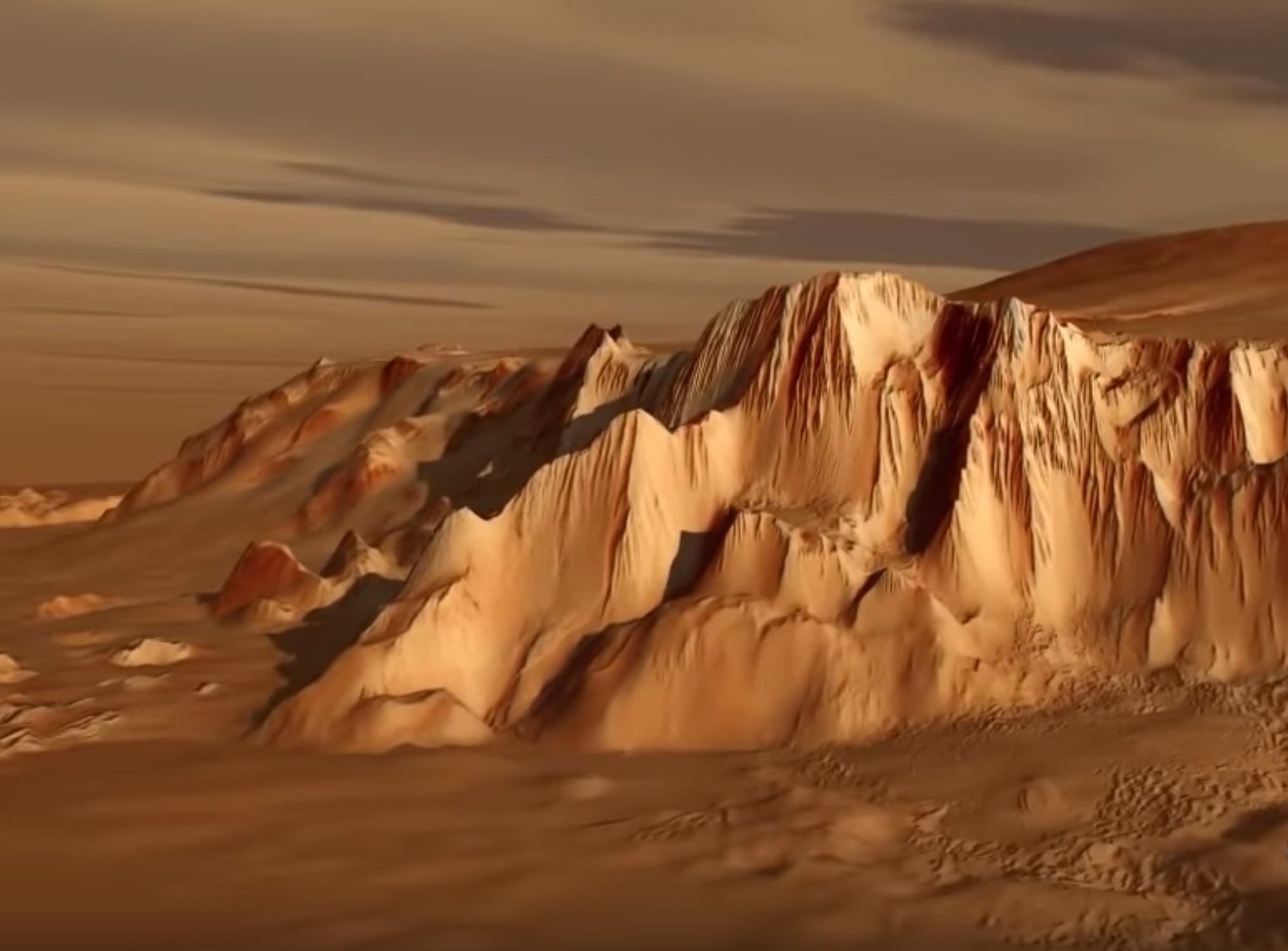
In a recap of its Mars Express imaging satellite’s fifteen years orbiting the red planet, the European Space Agency, NASA’s European equivalent, released a compilation video showcasing the most stunning photos captured by the craft. The animation added to the imagery gives viewers the impression of flying over the planet’s surface, taking in the depth of colors as though they were physically there themselves. With Mars in sight for near-future human exploration, ESA’s showcase gives Earth dwellers a taste of what’s to come.
The images in the collection demonstrate the great variation in geography across the cold, regolith-infused planet. Included in the photo set are the Neukum Crater, named after Gerhard Neukum, a German physicist, planetary scientist, and one of the founders of the Mars Express mission who died in 2014. The craters on Mars are generally representative of the planet’s ancient surface preserved for billions of years.
Also included is a flyover of the Kasei Valles, an “outflow channel” similar to the giant water-carved features of Earth, likely formed from a combination of tectonics, lava flow, and catastrophic flooding (potentially from the Echus Chasma, also included in the photos). Of course, ice-filled craters and the north and south polar ice caps are also included in the set, features of the planet that will be quite helpful to humans looking at long-term stays.
-
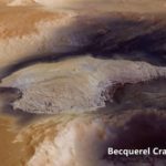
- The Becquerel Crater on Mars. | Credit: ESA/Mars Express
-
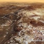
- The Mawrth Vallis on Mars. | Credit: ESA/Mars Express
-
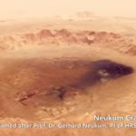
- The Neukum Crater on Mars. | Credit: ESA/Mars Express
-
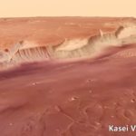
- The Kasei Valles on Mars. | Credit: ESA
To create the incredible imagery, photos taken by the Mars Express satellite during multiple passes were compiled into a mosaic. The instrument used to capture visuals is the High Resolution Stereo Camera (HRSC), and it has a resolution of about 32 feet, with some regions measured at about 6 feet of resolution. The HRSC can also create 3D imagery, capturing the planet’s topography at a level of detail that enables geoscientific evaluation of surface processes in space and time. The video compilation was assembled and edited by members of Freie Universitat Berlin’s Planetary Sciences and Remote Sensing department.
Mars Express was launched on June 2, 2003 aboard a Soyuz/Fregat rocket and received its name from being the quickest built planetary mission craft of its type. Its planned mission is to image the entire surface of Mars at high resolution and produce maps of the planet’s mineral compositions and atmospheric activities. A lander named Beagle 2 had traveled along with it, but unfortunately it became inoperable after successfully landing on the surface. Its fate remained unknown until NASA’s Mars Reconnaissance Orbiter located and photographed it in 2015.
Around winter holiday time last year, Mars Express captured images which formed the amazing “winter wonderland” photo showcasing the Korolev crater in the northern lowlands of Mars. Since the satellite entered orbit around the planet on December 25, 2003, the capture was both relevant to the craft’s history and timely for the season. Yet another geographic phenomenon was on display with this surface feature – “cold trap” – where air moving across the crater cools, becoming heavy and getting “trapped” directly above the ice.
Watch the full video released by ESA below:


News
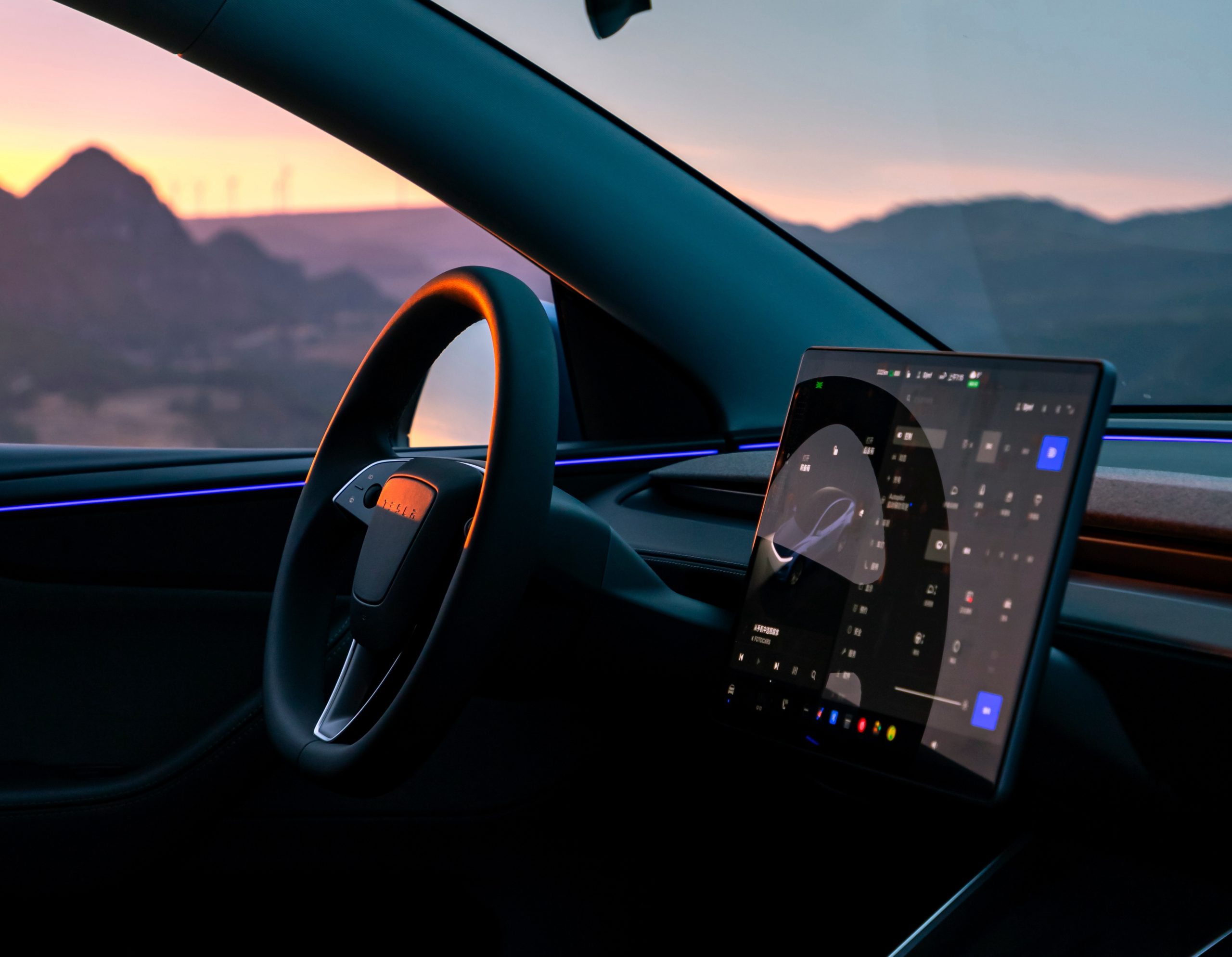
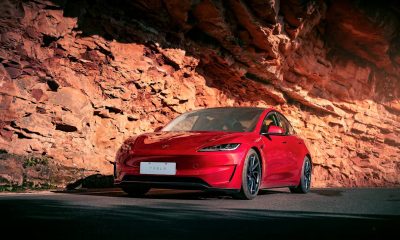
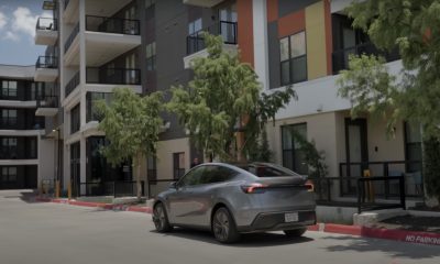
Tesla begins Robotaxi certification push in Arizona: report
Tesla seems serious about expanding its Robotaxi service to several states in the coming months.
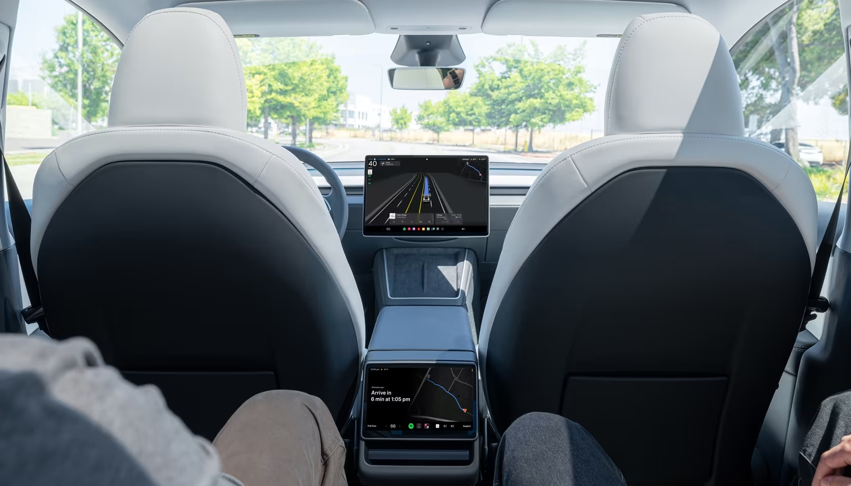
Tesla has initiated discussions with Arizona transportation regulators to certify its driverless Robotaxi service in the state, as per a recent report from Bloomberg News. The move follows Tesla’s launch of its Robotaxi pilot program in Austin, Texas, as well as CEO Elon Musk’s recent comments about the service’s expansion in the Bay Area.
The Arizona Department of Transportation confirmed to Bloomberg that Tesla has reached out to begin the certification process for autonomous ride-sharing operations in the state. While details remain limited, the outreach suggests that Tesla is serious about expanding its driverless Robotaxi service to several territories in the coming months.
The Arizona development comes as Tesla prepares to expand its service area in Austin this weekend, as per CEO Elon Musk in a post on X. Musk also stated that Tesla is targeting the San Francisco Bay Area as its next major market, with a potential launch “in a month or two,” pending regulatory approvals.
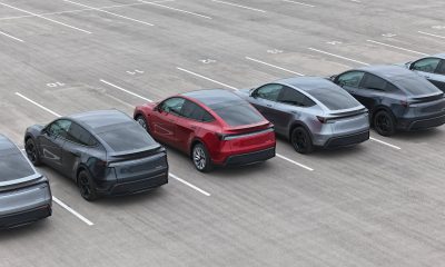
Tesla first launched its autonomous ride-hailing program on June 22 in Austin with a small fleet of Model Y vehicles, accompanied by a Tesla employee in the passenger seat to monitor safety. While still classified as a test, Musk has said the program will expand to about 1,000 vehicles in the coming months. Tesla will later upgrade its Robotaxi fleet with the Cyercab, a two-seater that is designed without a steering wheel.
Sightings of Cybercab castings around the Giga Texas complex suggests that Tesla may be ramping the initial trial production of the self-driving two-seater. Tesla, for its part, has noted in the past that volume production of the Cybercab is expected to start sometime next year.
In California, Tesla has already applied for a transportation charter-party carrier permit from the state’s Public Utilities Commission. The company is reportedly taking a phased approach to operating in California, with the Robotaxi service starting with pre-arranged rides for employees in vehicles with safety drivers.
News
Tesla sets November 6 date for 2025 Annual Shareholder Meeting
The automaker announced the date on Thursday in a Form 8-K.
Tesla has scheduled its 2025 annual shareholder meeting for November 6, addressing investor concerns that the company was nearing a legal deadline to hold the event.
The automaker announced the date on Thursday in a Form 8-K submitted to the United States Securities and Exchange Commission (SEC). The company also listed a new proposal submission deadline of July 31 for items to be included in the proxy statement.
Tesla’s announcement followed calls from a group of 27 shareholders, including the leaders of large public pension funds, which urged Tesla’s board to formally set the meeting date, as noted in a report from The Wall Street Journal.
The group noted that under Texas law, where Tesla is now incorporated, companies must hold annual meetings within 13 months of the last one if requested by shareholders. Tesla’s previous annual shareholder meeting was held on June 13, 2024, which placed the July 13 deadline in focus.
Tesla originally stated in its 2024 annual report that it would file its proxy statement by the end of April. However, an amended filing on April 30 indicated that the Board of Directors had not yet finalized a meeting date, at least at the time.
The April filing also confirmed that Tesla’s board had formed a special committee to evaluate certain matters related to CEO Elon Musk’s compensation plan. Musk’s CEO performance award remains at the center of a lengthy legal dispute in Delaware, Tesla’s former state of incorporation.
Due to the aftermath of Musk’s legal dispute about his compensation plan in Delaware, he has not been paid for his work at Tesla for several years. Musk, for his part, has noted that he is more concerned about his voting stake in Tesla than his actual salary.
At last year’s annual meeting, TSLA shareholders voted to reapprove Elon Musk’s compensation plan and ratified Tesla’s decision to relocate its legal domicile from Delaware to Texas.
Elon Musk
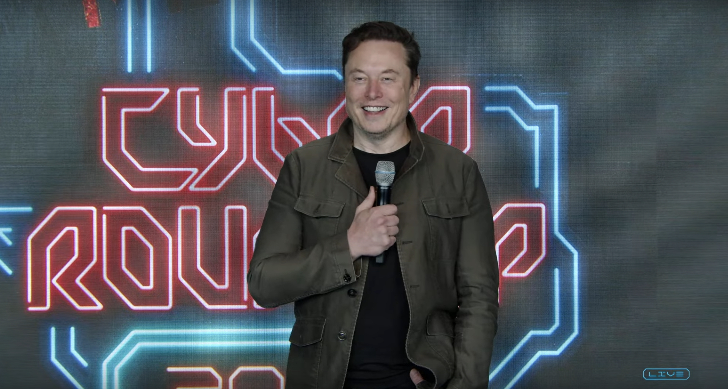
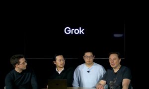
Grok coming to Tesla vehicles next week “at the latest:” Elon Musk
Grok’s rollout to Tesla vehicles is expected to begin next week at the latest.
Elon Musk announced on Thursday that Grok, the large language model developed by his startup xAI, will soon be available in Tesla vehicles. Grok’s rollout to Tesla vehicles is expected to begin next week at the latest, further deepening the ties between the two Elon Musk-led companies.
Tesla–xAI synergy
Musk confirmed the news on X shortly after livestreaming the release of Grok 4, xAI’s latest large language model. “Grok is coming to Tesla vehicles very soon. Next week at the latest,” Musk wrote in a post on social media platform X.
During the livestream, Musk and several members of the xAI team highlighted several upgrades to Grok 4’s voice capabilities and performance metrics, positioning the LLM as competitive with top-tier models from OpenAI and Google.
The in-vehicle integration of Grok marks a new chapter in Tesla’s AI development. While Tesla has long relied on in-house systems for autonomous driving and energy optimization, Grok’s integration would introduce conversational AI directly into its vehicles’ user experience. This integration could potentially improve customer interaction inside Tesla vehicles.
xAI and Tesla’s collaborative footprint
Grok’s upcoming rollout to Tesla vehicles adds to a growing business relationship between Tesla and xAI. Earlier this year, Tesla disclosed that it generated $198.3 million in revenue from commercial, consulting, and support agreements with xAI, as noted in a report from Bloomberg News. A large portion of that amount, however, came from the sale of Megapack energy storage systems to the artificial intelligence startup.
In July 2023, Musk polled X users about whether Tesla should invest $5 billion in xAI. While no formal investment has been made so far, 68% of poll participants voted yes, and Musk has since stated that the idea would be discussed with Tesla’s board.

Tesla begins Robotaxi certification push in Arizona: report

Tesla sets November 6 date for 2025 Annual Shareholder Meeting

Grok coming to Tesla vehicles next week “at the latest:” Elon Musk


-
 Elon Musk1 week ago
Tesla investors will be shocked by Jim Cramer’s latest assessment
-
 Elon Musk3 days ago
Elon Musk confirms Grok 4 launch on July 9 with livestream event
-
 Elon Musk16 hours ago
xAI launches Grok 4 with new $300/month SuperGrok Heavy subscription
-
 News7 days ago
Tesla Model 3 ranks as the safest new car in Europe for 2025, per Euro NCAP tests
-
 Elon Musk2 weeks ago
A Tesla just delivered itself to a customer autonomously, Elon Musk confirms
-
 Elon Musk1 week ago
xAI’s Memphis data center receives air permit despite community criticism
-
 Elon Musk2 weeks ago
Tesla’s Omead Afshar, known as Elon Musk’s right-hand man, leaves company: reports
-
 News2 weeks ago
Xiaomi CEO congratulates Tesla on first FSD delivery: “We have to continue learning!”