News
SpaceX competitor ULA achieves 100 launch success streak with NASA’s ICESat-2 LIDAR satellite
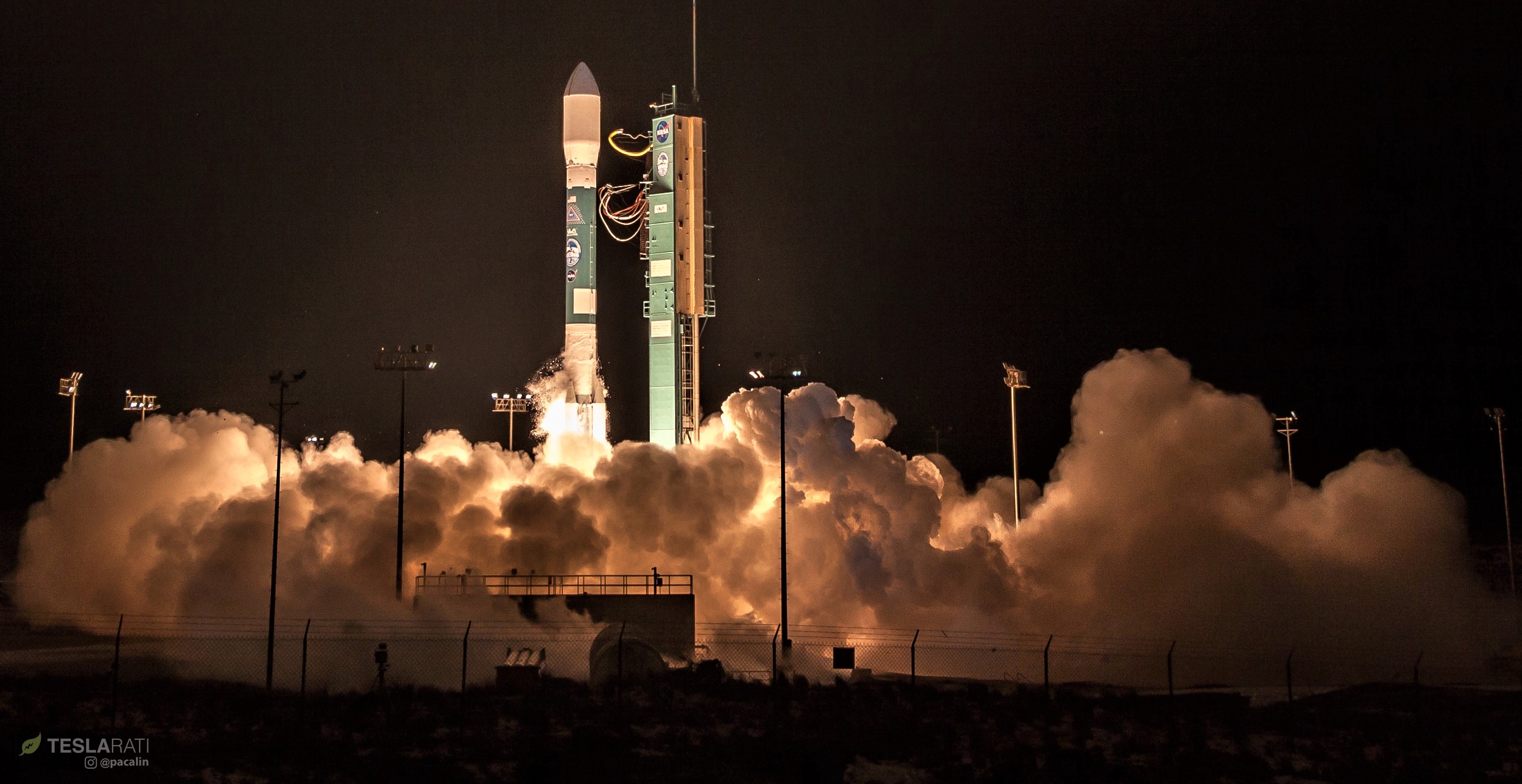
Boeing – working as part of ULA – has completed the 100th consecutively successful launch of its 30-year-old Delta II rocket, bringing to an end the vehicle’s storied history of missions for the US military, NASA, and commercial customers.
For its send-off, a lighter variant of Delta II placed ICESat-2 – essentially a large laser radar (LIDAR) array with solar panels and thrusters – into a polar orbit, where it will work to measure and track changes in Earth’s vast ice resources and will do so with extreme accuracy and precision.
Successful launch of NASA’s #ICESAT2 satellite aboard ULA’s final Delta II rocket this morning from Vandenberg AFB. #nasa pic.twitter.com/zPUh2iHWoD
— Pauline Acalin (@w00ki33) September 15, 2018
Over the course of its career, Delta II has managed an impressive ~99% success rate, launching dozens of successful scientific missions to explore asteroids, comets, the Moon, the sun, exoplanets, Mars, and more. Many of those spacecraft are still operational to this day, with some of the most noteworthy examples being Dawn (orbiting Ceres, the largest asteroid in the solar system), Kepler (the first dedicated space-based exoplanet observatory), and the beleaguered Mars rover Opportunity, currently in an unplanned state of hibernation on the Red Planet.
The NASA payload Delta II launched earlier this morning is known as ICESat-2 (short for Ice, Cloud and land Elevation Satellite) and weighs in around 1500 kg (3300 lb), all dedicated to a scientific instrument known as ATLAS (Advanced Topographic Laser Altimeter System). In simple terms, ATLAS uses a form of LIDAR (laser-based radar, currently popular for autonomous vehicle development) that is optimized for a very particular task, namely precisely measuring the height of certain far-away objects.
-
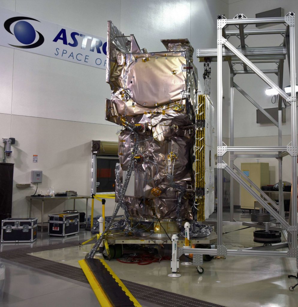
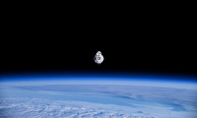
- NASA’s ICESat-2 satellite. (NASA)
-
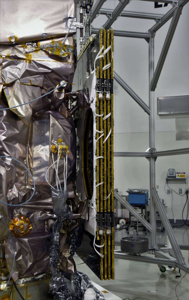
- NASA’s ICESat-2 satellite. (NASA)
-
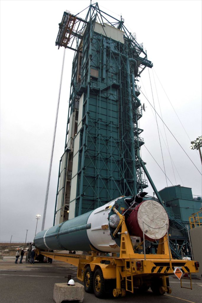
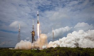
- Delta II is trucked to the launch pad ahead prior to launch. (NASA)
Known as laser altimetry, ATLAS is a rather exceptional example of LIDAR’s space-based utility and has been designed to reliably measure ice-sheet elevation changes of as little as 4mm per year, despite the fact that it will orbit 500 km (310 mi) above Earth’s surface at a velocity of 7.8 km/s (4.9 mi/s). Aside from measuring the height of Earth’s land ice sheets (predominately located in Greenland and the Antarctic), ICESat-2’s orbital LIDAR array will also be able to make less accurate but still useful measurements of changes in sea ice (particularly in the Arctic Ocean) and vegetation (tree canopies), the latter of which can help estimate and track global biomass changes.
Lasers in space are pretty much always cool. Up next in the spaceflight scene will be Japan’s launch of an ISS resupply spacecraft known as HTV, followed by an Ariane 5 launch in late-September, and SpaceX’s next Falcon 9 mission – SAOCOM-1A – NET October 7th.
For prompt updates, on-the-ground perspectives, and unique glimpses of SpaceX’s rocket recovery fleet check out our brand new LaunchPad and LandingZone newsletters!


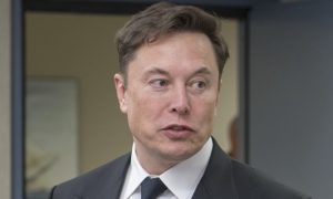
Elon Musk
Elon Musk confirms Grok 4 launch on July 9 with livestream event
The rollout will be accompanied by a livestream at 8 p.m. Pacific Time.
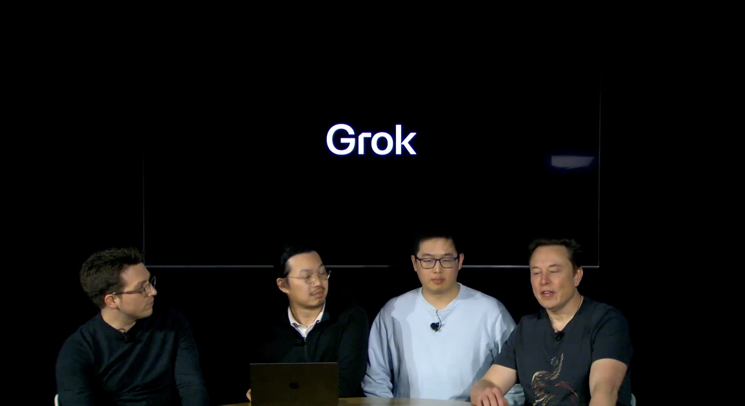
Elon Musk has officially confirmed that Grok 4, the latest version of xAI’s large language model, will launch on July 9. The rollout will be accompanied by a livestream at 8 p.m. Pacific Time, hosted on xAI’s official account on X.
xAI goes straight to Grok 4
Back in May, leaks indicated that xAI was getting ready to ship Grok 3.5. Considering Musk’s recent comments, however, it appears that the artificial intelligence startup would be focusing on the large language model’s fourth iteration instead. As noted in a Financial Express report, users on X have sighted references to Grok 4 in the lead up to the update’s launch, such as “grok-4-prod-mimic” and “Grok 4 Code.”
Musk’s Grok 4 announcement comes as AI competition intensifies between major players including OpenAI, Google, and xAI. With Musk’s Colossus supercomputer fully operational in Memphis, xAI appears to be accelerating its AI product roadmap.
Musk pushes Grok toward political neutrality
Grok 4’s launch also follows a recent controversy involving political bias, as noted in a CNN report. Last week, Grok responded to a user on X stating that political violence in the U.S. since 2016 had come more from the political right than the left. The chatbot noted in a later reply that its answer was based on information from sources like Reuters, the Journal of Democracy, and University of Maryland studies.
Musk stated that Grok’s response was a “major fail.” “Major fail, as this is objectively false. Grok is parroting legacy media. Working on it,” he wrote in a post on X. By the end of June, Musk noted that he was “grinding all night with the xAI team” and that they were making “good progress.” He also stated that the model “Will be called Grok 4. Release just after July 4th. Needs one more big run for a specialized coding model.”
News
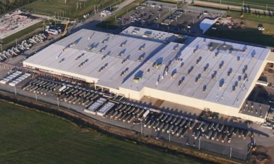
Tesla opens massive solar Supercharger station in California
The Supercharger opened to customers ahead of Fourth of July weekend, while Tesla continues phase two of construction on the site.

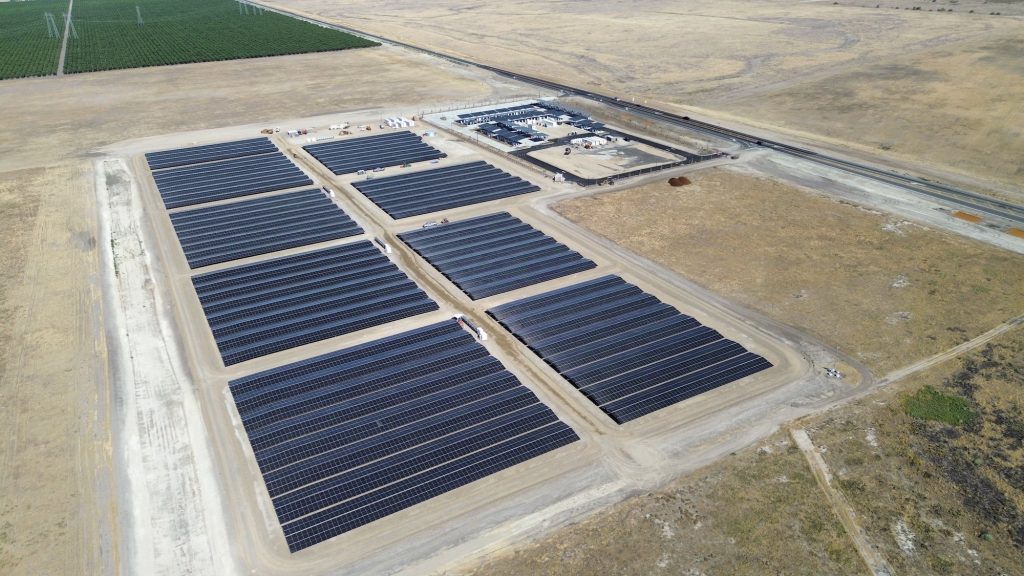
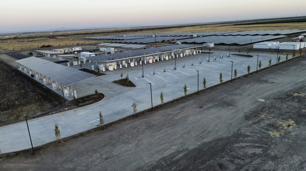
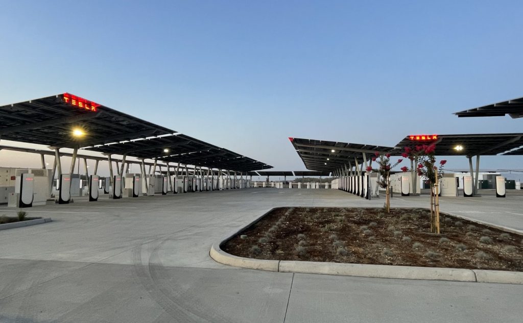
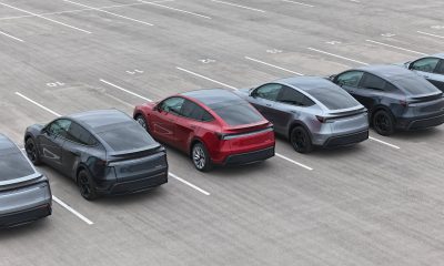
Tesla has officially launched the first several Supercharging posts at a massive station in California, notably including solar canopies and grid-scale batteries to offer completely renewable charging.
Last week, Tesla announced on X that it opened the first 84 Supercharger stalls of a planned 168-stall station in Lost Hills, California. Additionally, the massive Supercharger project features 11MW of solar canopies and 10 Megapack batteries for off-grid charging powered entirely by solar energy.
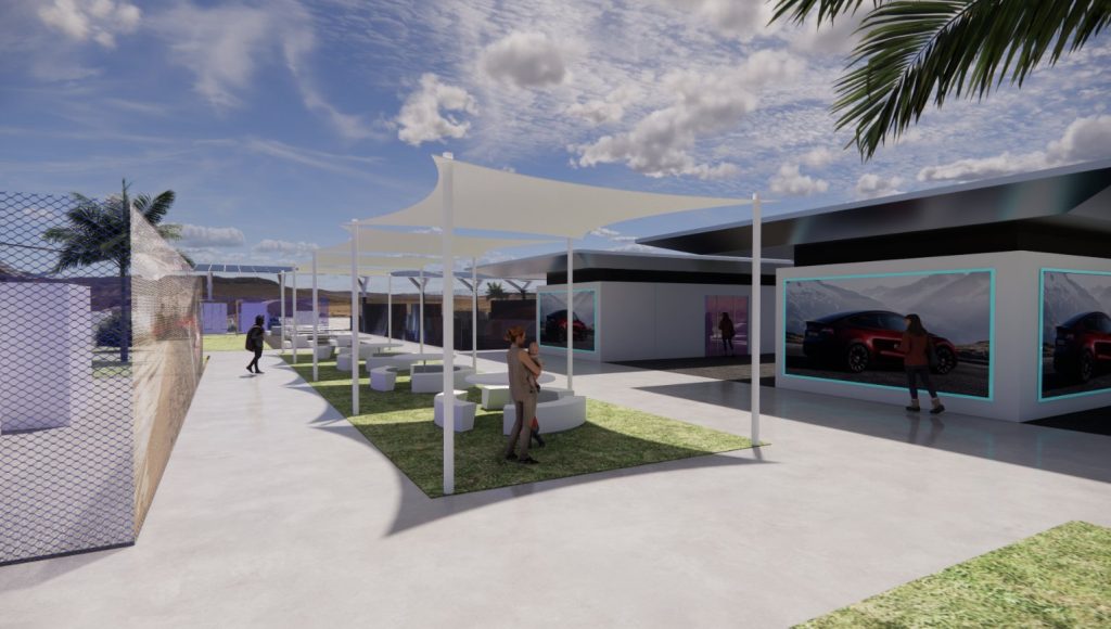
Tesla completed the first phase of the project just days ahead of the busy Fourth of July holiday weekend, adding that initial construction took just eight months. In addition to the remaining charging stalls, Tesla says it’s building a set of lounge areas, renderings of which can be seen below alongside current photos of the site.
Notably, the site also includes V4 charging posts for the company’s latest available charging speeds, and it’s located near the busy junction between I-5 and Highway 46 in Kern County.
“Thank you [Kern County] and [PG&E] for collaboration and approvals,” Tesla wrote in a follow-up post.
Credit: Tesla Charging | X
Credit: Tesla Charging | X
Credit: Tesla Charging | X
Credit: Tesla Charging | X
Tesla Supercharger Maps for North America, Europe, and Asia pic.twitter.com/0U5r0XRPyo
— TESLARATI (@Teslarati) July 2, 2025
READ MORE ON TESLA SUPERCHARGERS: Tesla launches ultra-fast V4 Superchargers in China for the first time
Testing at the LA Diner, plus Musk update on potential Tesla solar Gigafactory
The huge Tesla Supercharger station completed phase one of construction fairly quickly, especially given how long Tesla has been working on its unique Los Angeles diner, drive-in, and Supercharger location. Still, the company was seen performing some testing at the nearly-completed charging station earlier this month, and will reportedly be holding a job fair.
Elon Musk also responded on Monday morning to a post on X, suggesting that Tesla is “thinking about” building a U.S.-based solar Gigafactory in order to help support increased power needs with AI growth, and to bolster domestic solar production.
Tesla is building a new UFO-inspired Supercharger in the heart of Alien country
News
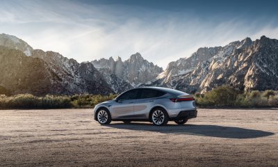
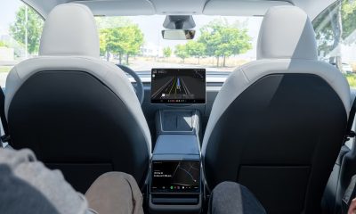
Tesla driver walks away from major accident with minor injuries
The driver sustained only minor injuries, and the exact cause of the crash remains under investigation.
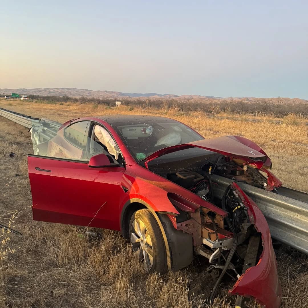
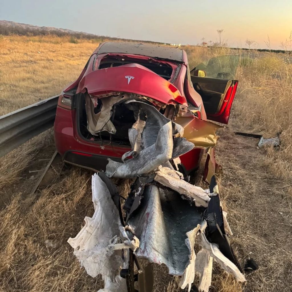
The driver of a Tesla Model Y survived and walked away from a harrowing accident on Monday in California, only sustaining minor injuries despite the vehicle being impaled by a guardrail.
On Monday morning around 4:34 a.m., the Los Banos division of the California Highway Patrol (CHP) responded to the accident on I-5 near Panoche Road, involving a 23-year-old in a Tesla Model Y. According to a post on social media, the driver veered off the road for unknown reasons in the northbound lane, before crashing directly into the guardrail and impaling the vehicle.
You can read the full message and photos from Los Banos CHP below, as were shared in a Facebook post on Monday afternoon.
This morning a Tesla model y was traveling in the #1 northbound lane of I-5 north of Panoche Rd. For unknown reasons driver allowed V-1 to veer off the roadway, travel through a dirt center divide, and crashed into the fixed metal guardrail. Lucky for the driver he only sustained minor injuries and was able to walk away. Driving a vehicle requires 100% attention to the road. Avoid distractions and focus on driving.
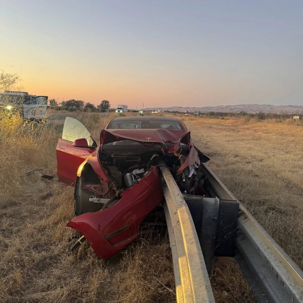
Credit: CHP Los Banos (via Facebook)

Credit: CHP Los Banos (via Facebook)
Credit: CHP Los Banos (via Facebook)
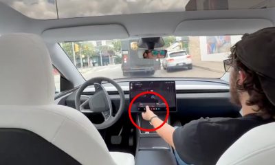
In a statement to SFGate, CHP officer Myles Anderson said that the driver only sustained minor injuries, while no arrests are made and drugs and alcohol are not suspected to have been involved. The report also notes that Tesla’s “cruise control and lane assistance features” were activated, according to Anderson. However, it’s not entirely clear if this is referring to Supervised Full Self-Driving (FSD), or to the cruise control and lane assist features baked into Autopilot.
At the time of writing, CHP has not yet responded to Teslarati’s request for clarification and additional details on the matter.
Tesla Crash Safety Ratings across its lineup: pic.twitter.com/ny30R7ceji
— TESLARATI (@Teslarati) July 1, 2025
READ MORE ON TESLA SAFETY: Tesla rolls out crucial new safety feature aimed at saving children
The news comes after Tesla has touted its vehicles as incredibly safe for many years. In December, for example, the company highlighted receiving top safety scores from regulators on four different continents throughout the world, including from the National Highway Traffic Safety Administration (NHTSA) and the Insurance Institute of Highway Safety (IIHS) in the U.S.
Tesla has also listed the goal of making its vehicles the safest on the road throughout the years, both in the overall design of its vehicles and in its Autopilot and Full Self-Driving (FSD) programs.
Tesla Model 3 ranks as the safest new car in Europe for 2025, per Euro NCAP tests

Elon Musk confirms Grok 4 launch on July 9 with livestream event

Tesla opens massive solar Supercharger station in California

Tesla driver walks away from major accident with minor injuries


-
 Elon Musk1 week ago
Tesla investors will be shocked by Jim Cramer’s latest assessment
-
 News2 weeks ago
Tesla Robotaxi’s biggest challenge seems to be this one thing
-
 News2 weeks ago
Watch the first true Tesla Robotaxi intervention by safety monitor
-
 Elon Musk2 weeks ago
A Tesla just delivered itself to a customer autonomously, Elon Musk confirms
-
 News2 weeks ago
Tesla Robotaxi rollout proves that Elon Musk still delivers, even if it’s late
-
 Elon Musk2 weeks ago
xAI welcomes Memphis pollution results, environmental groups push back
-
 Elon Musk2 weeks ago
Elon Musk commends Tesla team on successful Robotaxi launch
-
 Elon Musk2 weeks ago
Elon Musk confirms Tesla Optimus V3 already uses Grok voice AI